Apply machine learning
Name localizer
This is my first project working with machine learning. The goal of this project was to identify the locations of different places in germany based on recurring word elements in their names.
Role
Designer
Date
2020
Project Overview
Mapping language
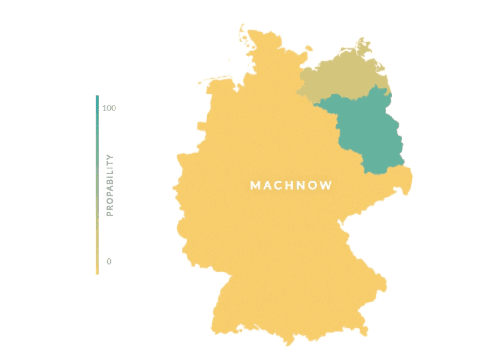
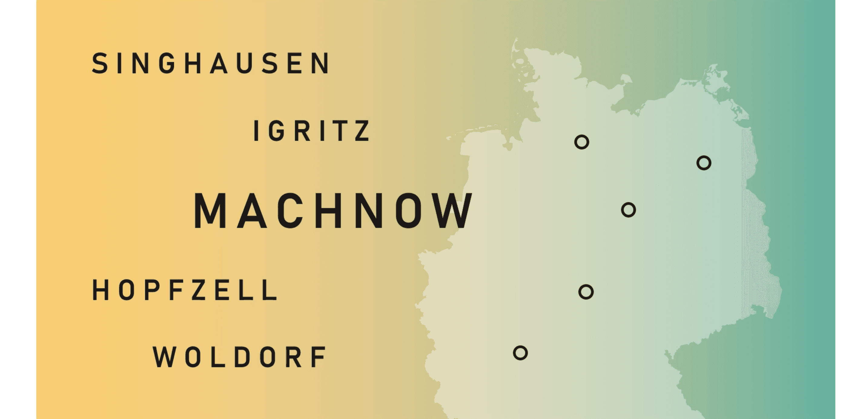
Name Localizer explores a fundamental question: can the name of a place hint at its geographical position? Using a dataset of 24,000 real-world locations paired with their corresponding states, the project tests whether linguistic patterns in naming conventions carry spatial information. The output visualizes predictions on a map—states appearing greener indicate higher confidence that a given name belongs there. At its core, this is a mapping between language and geography.
Technical Implementation
Machine Learning
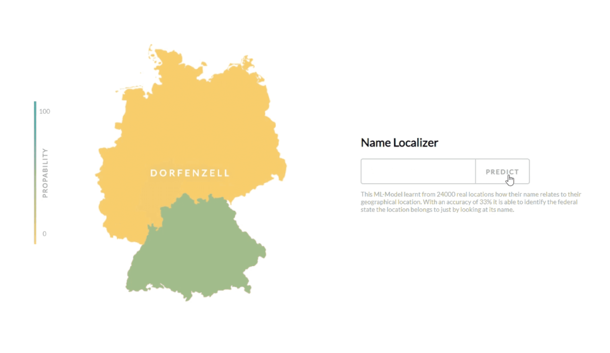
The model was built with Python and TensorFlow, employing a recurrent neural network with Long Short-Term Memory (LSTM) architecture. LSTMs were chosen for their strength in sequential data—ideal for processing the character-level patterns within place names. Once trained, the system takes a location name as input and outputs a probability distribution across states, which gets rendered visually for easy interpretation.
Results & Takeaways
33% accuracy
The model achieves 33% accuracy in correctly predicting the actual state for known locations. While this figure leaves room for improvement, it demonstrates that place names do contain detectable geographic signals—whether through regional dialects, historical naming traditions, or cultural patterns embedded in the vocabulary. The visualization approach also opens avenues for exploratory analysis, letting users see not just the prediction but the uncertainty across regions.